Regional collections of USGS topo maps and Software for 2-D and 3-D viewing, customizing, printing, and GPS.
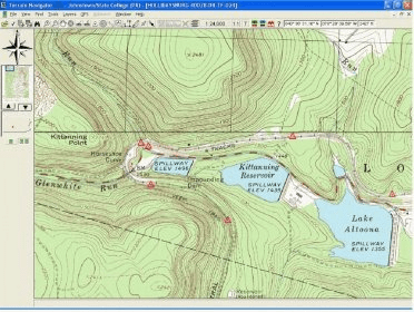
USGS topo maps are the recognized standard for off-road navigation. Maptech scans official paper maps to produce clear and detailed images of all 58,000 USGS maps. Each CD-ROM contains up to 300 quads in two scales: 1:24/25,000 (7.5 minute series) and 1:100,000.
View maps in 2-D or bring contour lines to life in 3-D. You also have the option of putting 2-D and 3-D side-by-side.
View and print cross-sections and line-of-sight profiles with the latest high-resolution digital elevation data.
Turn your PC into a moving map display. Connect a GPS and you'll see your position right on the screen.
Comments